The Experience of Curitiba – Simplicity, Tenacity and Action
May 7, 2018 — The Big Picture
The question that was proposed to me for this essay was if the experience of Curitiba in terms of urban planning and interventions could work as an example for cities around the world; cities that are not megalopolis, or even major metropolis, but that still play in important role in their country’s urban network.
I am always a bit weary of the word “example”. There is always an extremely important role for context in planning – political, environmental, cultural, social, economic, etc. – and to import “solutions” is a rather imprudent approach. However, as a positive reference, an analytical framework of inspiration, I would happily say yes.
Though I’m going to bring to the text a few of the ideas that structured the development of the city, there are some underlying principles that may not be evident but that are of paramount importance:
- To innovate is to start: planning is a trajectory that can always be adjusted if you listen to the people;
- Lack of resources cannot be an excuse not to act: creativity starts when you cut off a zero from your budget;
- Society has to be involved in the conception and implementation of the solutions: everyone has something to contribute and co-responsibility equations foster engagement;
- Finally, the more variables a proposal solves with simplicity, the better the solution will be.
Curitiba is the capital of Paraná state, in southern Brazil, with 432km2. Following the country’s demographic pattern, it faced explosive urban growth from the 1950s onward. Its population mushroomed from a town of 300,000 in 1950 to a metropolis of 1.5 million in 1990, making it Brazil’s fastest growing city. Although the intensity of this process decreased somewhat during the 1990s, especially within the city’s borders, data from the Brazilian Census Bureau (IBGE) for 2010 indicate that Curitiba (circa 1.75 million) is now the core of a 3.2 million inhabitants metropolitan area, a territory that encompasses 28 other municipalities. Within Brazilian urban network hierarchy (IBGE), Curitiba is a “Metrópole”, which along with nine others occupy the network’s third level, following São Paulo (Grande Metrópole Nacional), Rio de Janeiro and Brasília (Metrópole Nacional).
In the history of its planning, the 1942 Master Plan for the city – the Agache Plan – prescribed for Curitiba a radial structure of growth. In order to consolidate this model, heavy infrastructure investments would have to be made, including the widening of streets in the historic downtown area, endangering the city’s built heritage. Fortunately, the city never had the money to fully implement this Plan. But its elaboration helped to raise the debate about its planning and future development.
Already the 1960s, Curitiba’s central area was presenting signs of overcrowding and serious traffic congestion. The public transportation was then a fragmented service offered by several bus operators running isolated itineraries along the city’s busiest streets.
Curitiba reversed these negative trends by developing and applying through time a set of planning principles and policies that adopted an integrated view, and upheld the need to combine land use, road network system and public transportation as a tripod to sustain balanced growth.
The initial steps towards this model were taken while elaborating the 1966 Curitiba Master Plan, which gave priority to people over cars. It broke away from the radial pattern by establishing a linear growth model along designated axes. The core itself would be preserved primarily for pedestrians and transferring transit passengers, with automobiles relegated to a second-tier status.
Therefore, there was a conscious decision to take control of the city’s urban growth process by using two basic means: land use legislation in combination with the right to determine public transport routes. During my first term as mayor in 1971, the city began to implement the urban design structure that would guide its growth for the decades to come. It was conceived to counterbalance urban sprawl and emphasize linear growth along pre-determined areas – the structural axes – deflecting it from the compact and already saturated downtown area. Along these ‘corridors’ that stretched towards the neighborhoods, attractive parameters were defined for the location of compatible economic activities and high-density housing (mixed-use) accompanied by high quality public transportation.
The option was for bus transit, that presented the advantages of being economically viable, more adaptable and flexible over time – allowing incremental implementation of the system in pace with Curitiba’s fast growth – and it could take advantage of preexisting roads infrastructure. However, it was no ordinary “bus system”. It incorporated simple but highly efficient innovations that led it to achieve unprecedented performance and quality, such as dedicated lanes, integration terminals and a rationalization of the lines, that later on evolved to incorporate articulated and double articulated buses, and the innovative “tube station”, which allows for same-level, pre-paid boarding. All in all, the “metronization” of the bus, the birth of the BRT which is now present in over two hundred cities worldwide.
A decision that also dates back to the early 1970s has to do with the relationship of the city with the natural environment: the quality of life in Curitiba would depend on how well the city integrated itself with nature. By then, Curitiba was rapidly urbanizing without much regard for its watercourses and native forests. The rivers that irrigate its downtown area would constantly overflow. The city had only 0.5sqm of green areas per inhabitant and a single public park – the “Passeio Publico”, built in the late 1800s.
At the time, we had available from the Federal Government significant sums of money to invest in flood prevention and control. Instead of spending this money burying Curitiba’s rivers in concrete, we embraced a different approach: understand the rivers as part of the city and use their potential to create new public areas for the city; implement urban drainage policies through the creative idea of transforming critical areas into parks destined primarily to the containment of floods. Instead of using the available resources to go against the intrinsic logic of natural drainage systems, the city embraced it, changing dramatically its panorama. In the institutional front, the innovation was to think the city’s land use and occupation legislation to the drainage system: keep the highest possible water infiltration and retention levels within each basin. Nowadays, even with the population increasing threefold, there are more than 50sqm of green areas per inhabitant and 34 parks.
Finally, it is important to address the issue of identity and the population’s self-esteem. The city is like an old family portrait: its rivers, streets, squares, buildings, landmarks, constitute elements of the city’s narrative. This narrative has to be built to strengthen the solidarity bonds through the respect of diversity. The city – particularly its public spaces – is the setting for people to meet and share.
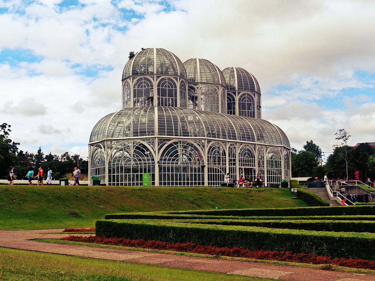
We did this in Curitiba throughout the decades by investing and promoting several projects and programs aiming at valuing identity, memory and culture – the “soul” of the city. There were interventions in historical districts, in the creation of squares and parks, in the construction of cultural and educational facilities, and in the conception and implementation of policies and partnerships to foster the flourishing of art in its many manifestations. The Paiol Theatre, the Creativity Center at São Lourenço Park, the Oscar Niemeyer Museum, the street markets, the Festival of Curitiba: strengthening this relationship has been a constant pursuit.
Sustainability, mobility, identity, sociodiversity: these are keywords for planning in Curitiba and for urban planning everywhere.